Read our guest blog and find out how analysing location data over time can show us the way in which neighbourhoods are evolving in our cities and transforming people’s lives.
Guest blog by Carl Watson, Senior Analyst and UX Lead, British Geological Survey who shares the steps taken to build a data portal for the user. “After listening to what real users want we have created guidelines for Designing Geospatial …
Geography and geospatial data have many applications to our lives including policing and public safety, a foundation of any democratic and progressive society.
We’re delighted to kick-start our series of “international” blogs with a guest blog from David Henderson marking the 10th anniversary of the Committee of Experts and reporting back on three key tangible outcomes from the latest UN-GGIM virtual meeting held in August.
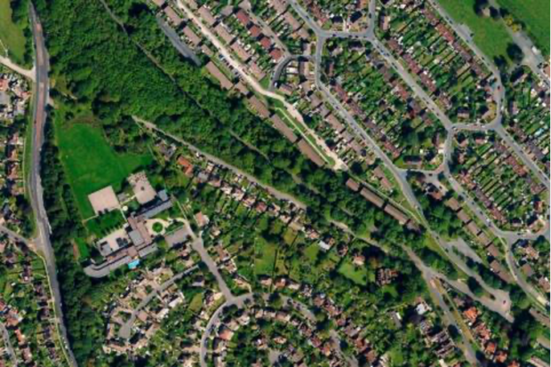
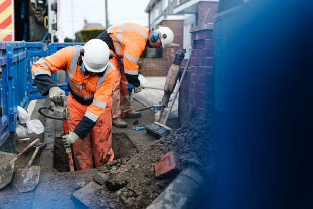
At Northumbrian Water Group innovation is part of our DNA. We seek out new thinking and greater collaborations to tackle both our own and society’s wider challenges. A key example of this is our work alongside the Geospatial Commission …
Coronavirus and geospatial data Geospatial data has been used to identify causes of disease, track its spread and monitor the recovery of patients since the 19th century, when John Snow mapped cholera outbreaks in London in 1854. Image: Snow, J. …
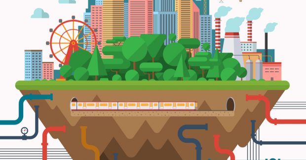
Take a look behind the scenes of one of our big projects, the National Underground Assets Register (NUAR) that was launched earlier this year.