How geospatial AI can help inform our land use choices
How geospatial AI can help inform our land use choices
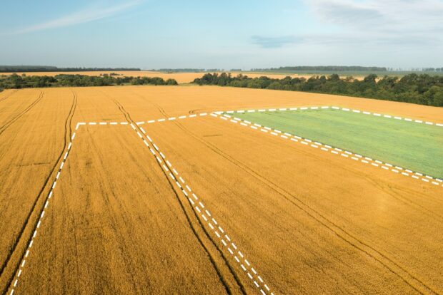
Mehul Doshi, Head of Land Use Programme, explains the role geospatial AI is playing in helping to address land use challenges. The UK has finite land that is under increasing pressure. To meet our energy, housing, and food security needs, …