Data
At the Geospatial Commission, we firmly believe in a hands-on experience and in creating connections. We recognise the importance of joining people and ideas to make big things happen. That is precisely why we introduced our Geospatial Shadowing Programme. …
The Geospatial Summit will be taking place this month. The Summit will focus on how recent innovations in geospatial technology can help us tackle resilience challenges.
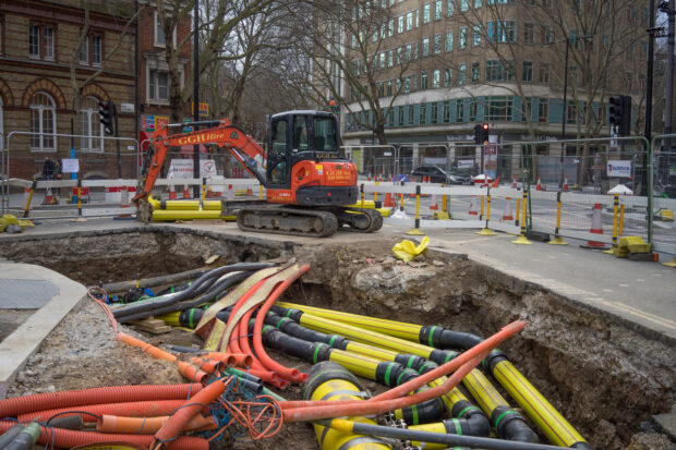
The Geospatial Commission has launched a new discovery project to explore opportunities to widen access to the National Underground Asset Register. Richard Duffield, NUAR Discovery Project Lead, reveals why we started the project and how to get involved.
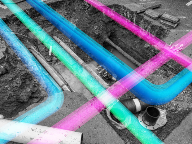
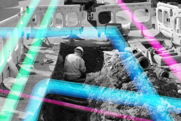
Dr Neil Brammall, NUAR Technical Product Owner, reveals his key learnings from the recent Open Standards code sprint event organised by the OGC and the role the NUAR data model has played in the implementation of key subsurface standards.
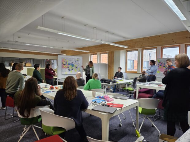
Christiana Clark explains how the Greater London Authority helped London fully onboard all major utilities and local authorities to NUAR.
Chris Chambers, Deputy Director for NUAR Delivery, gives an update on the National Underground Asset Register (NUAR).
In 2021 the government set an aim to secure the UK’s status as a science and technology superpower. The UK’s geospatial community is doing its bit with a successful trip to the UN World Geospatial Information Congress and external recognition as the UK retained its position as second in the world for geospatial capability.
The Local Land Charges Programme is unlocking the power of location data. Transforming 25 million items of public sector held data on land use restrictions into a machine-readable, standardised and easily accessible format will deliver huge benefits, particularly for digital …
Public sector investments have previously struggled to understand, assess and articulate the economic, social and environmental value of location data coherently, constraining their ability to unlock funding. Find out how this 7-step framework will help address these challenges.
Construction Playbook refresh to improve the re-use and accessibility of ground investigation data. This refresh now makes it a requirement that ground investigation data collected must be shared as soon as reasonably possible with the British Geological Survey as a condition of the contract.