Data
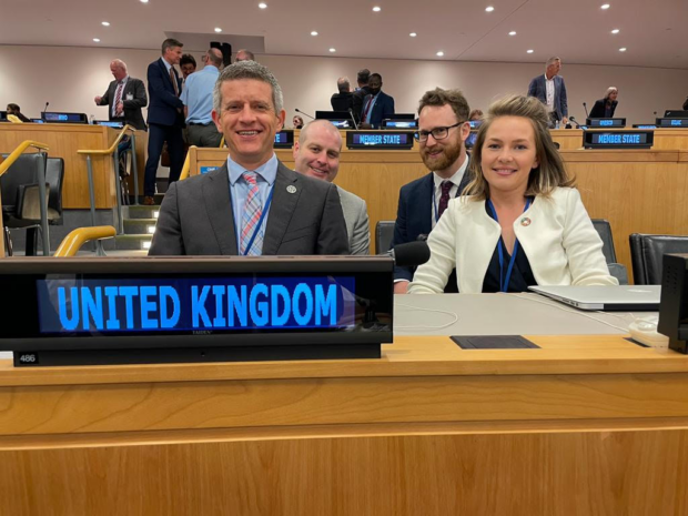
Caitlin Ballard, International Policy Advisor at the Geospatial Commission, summarises the UK delegation’s reflections on the 12th Session of the UN Committee of Experts on Global Geospatial Information Management (UN-GGIM) in New York. In early August, after a three-year hiatus …
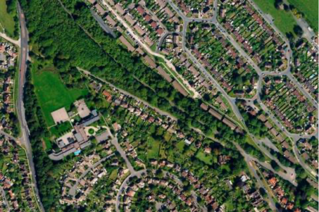
Read our guest blog and find out how analysing location data over time can show us the way in which neighbourhoods are evolving in our cities and transforming people’s lives.
There is a bit of a buzz about making data more FAIR (findable, accessible, interoperable and reusable). Is this a path towards a data utopia where everyone gets the data they want, in the way they want, when they want …
This blog unpacks some of the key findings of the Geospatial Commission’s survey on location data ethics.
Evaluator Sophie Reid explains the evaluation process she used during the independent dialogue exploring public attitudes about location data.
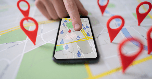
Location data is a fundamental part of our lives. So why do so many struggle to value it and what is the Geospatial Commission doing to resolve this challenge?
As we focus on education this year for Black History Month 2021- Proud To Be, we are delighted to place a spotlight on geosciences and the importance of diversity in a subject that informs decisions that affect all our lives. …
Yesterday the Crown Commercial Service (CCS) opened the Space-Enabled and Geospatial Dynamic Purchasing System (DPS) to buyers right across the public sector. The new DPS will make it easier for the public sector to procure access to a broad range …
For Black History Month 2021, we interviewed award-winning geographer, campaigner, influencer, advocate and activist - Francisca Rockey. Francisca reveals her passion for geography, its power to create a greener planet and why she founded Black Geographers.
By looking at licensing from the user perspective the Geospatial Commission and Geo6 have worked together to make data licensing and data more accessible.