Data
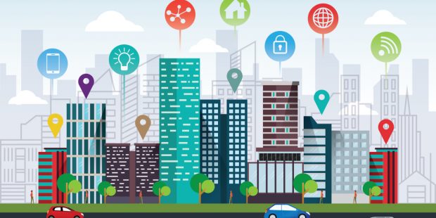
The Geospatial Commission and Partner Bodies have collaborated on a programme of data improvement projects, to develop consistent data standards, improve the discoverability, access, use and quality of Public Sector geospatial datasets.
Coronavirus and geospatial data Geospatial data has been used to identify causes of disease, track its spread and monitor the recovery of patients since the 19th century, when John Snow mapped cholera outbreaks in London in 1854. Image: Snow, J. …
The Geospatial Commission and Partner Bodies have collaborated on a programme of data improvement projects, to develop consistent data standards, improve the discoverability, access, use and quality of Public Sector geospatial datasets.
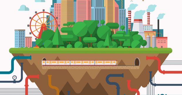
Take a look behind the scenes of one of our big projects, the National Underground Assets Register (NUAR) that was launched earlier this year.
Discover how the Geospatial Commission take an in-depth look into the use of location-based data in our everyday lives, as we commission a new piece of research looking into the features and dynamics of the UK geospatial data market.
The Geospatial Commission came together with the Race Disparity Unit to see how location data, geography and race can work together, to make it easier and quicker to link data to find helpful insights in disparities.