The National Archives is pleased to introduce the Developer Licence 2.0. As with the licence it replaces, it is part of the UK Government Licensing Framework (UKGLF) which provides the policy and legal framework for the re-use of public sector …
The Geospatial Commission and its Partner Bodies have collaborated to provide this Best Practice Guide: Extracting data from Archives. In these times of fast-paced change, our archive data which contains a rich layer of location data will become increasingly important, delivering value to the economy and wider society.
We’re delighted to kick-start our series of “international” blogs with a guest blog from David Henderson marking the 10th anniversary of the Committee of Experts and reporting back on three key tangible outcomes from the latest UN-GGIM virtual meeting held in August.
The Geospatial Commission wants to better understand how access to location data can support commercial innovation in mobility services. Dr Steve Unger will be chairing a new Transport Location Data Taskforce, which will bring together businesses interested in exploiting location data with key public sector organisations.
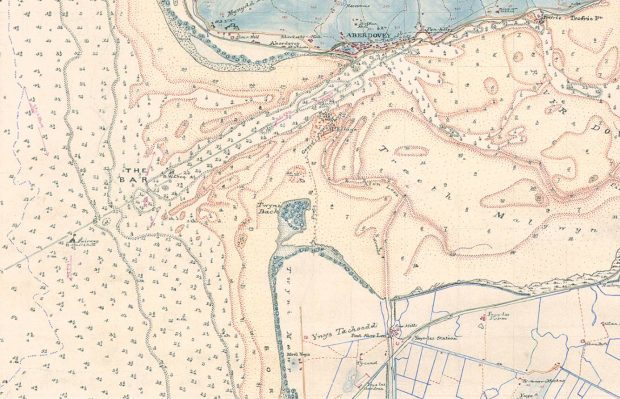
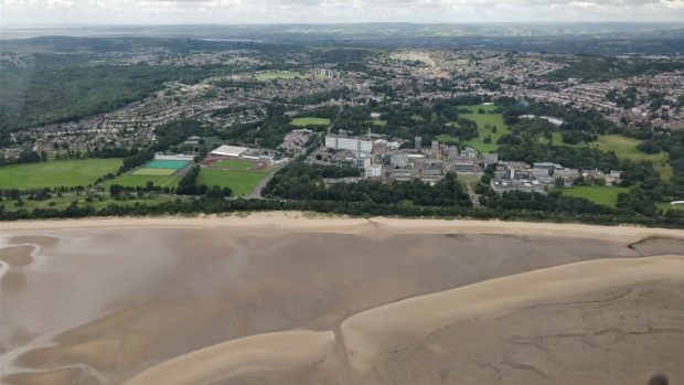
Did you know that the UK’s Geospatial Strategy is available to download in Welsh? The Geospatial Commission asked Dr Richard Fry, Senior Lecturer in Geography and Geographic Information Systems (GIS) at Swansea University Medical School, to shine a light on …
The Geospatial Commission and Partner Bodies have collaborated on a programme of data improvement projects, to develop consistent data standards, improve the discoverability, access, use and quality of Public Sector geospatial datasets.
Coronavirus and geospatial data Geospatial data has been used to identify causes of disease, track its spread and monitor the recovery of patients since the 19th century, when John Snow mapped cholera outbreaks in London in 1854. Image: Snow, J. …
The Geospatial Commission and Partner Bodies have collaborated on a programme of data improvement projects, to develop consistent data standards, improve the discoverability, access, use and quality of Public Sector geospatial datasets.
The Geospatial Commission came together with the Race Disparity Unit to see how location data, geography and race can work together, to make it easier and quicker to link data to find helpful insights in disparities.


