Did you know that the UK’s Geospatial Strategy is available to download in Welsh?
The Geospatial Commission asked Dr Richard Fry, Senior Lecturer in Geography and Geographic Information Systems (GIS) at Swansea University Medical School, to shine a light on the role that geospatial data and geographical mapping are playing in producing research to inform policy in Wales.
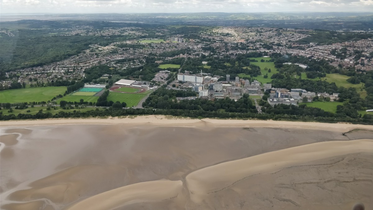
Wales is a geographically and socially diverse country meaning that where we live and work plays a huge part in our health and wellbeing, placing understanding of location at the forefront of policy decisions in Wales. It is clear that as a nation we need to understand more about how and why our geography affects us in Wales.
World-leading Wales
We in Wales are extremely fortunate to house the world-leading Secure Anonymised Information Linkage (SAIL) Databank - a safe haven for billions of person-based anonymised records relating to health and society in Wales and further afield. This data, when linked and mapped can provide a rare anonymised insight into how people move about in Wales and the impact that their surroundings have on them.
Working together, leading academics, data analysts and civil servants are now harnessing this insight as part of the ‘One Wales’ approach, rapidly responding to questions around the effect of COVID-19 on the population of Wales. This approach brings together experts who collectively are bridging the gap between research and policy to improve the health and wellbeing of the people of Wales.
The One Wales approach has brought together colleagues from across Wales including research centres based out of Swansea University’s Population Data Science group such as HDR UK, ADR Wales, SAIL Databank, ADP, BREATHE, along with Welsh Government, Public Health Wales and NHS Wales Informatics Service to produce a single, agile approach to tackling data analysis and intelligence generation in Wales.
Why is geography important?
Geography is at the very heart of the anonymised linkage and analyses being conducted securely in SAIL, whether as a data linkage mechanism or a statistical analysis unit. Linking models of the built, natural and social environments to anonymised health data helps us to understand how people move about in Wales, how the spaces around us and the places that we travel to affect our health and wellbeing and how these relationships vary across Wales.
This valuable insight helps us as academics and data scientists to develop and evaluate with our ‘One Wales’ colleagues new policies which are world-leading in their ambition. Examples of this are in the Well-being of Future Generations (Wales) Act 2015 and the Active Travel (Wales) Act 2013 which places health, wellbeing and poverty at the centre of all public bodies’ decision making to address the spatial inequalities that exist in Wales.
COVID-19 – a global pandemic with localised impacts
Geography has become even more important in recent months as we grapple to understand and tackle COVID-19. The technology stacks, known as the Secure E-Research Platform, and systems of linkage implemented in SAIL have enabled Wales to be a confident leader in the linked data response in the UK.
We have been able to rapidly reprofile existing electronic cohorts and acquire and anonymously link new datasets, often using the Unique Property Reference Number (UPRN) as a linkage field, to help the Welsh, Scottish and UK governments in their respective responses to the COVID-19 pandemic.
To learn more about the work of the Geospatial Commission in improving access to Ordnance Survey MasterMap data and released core location identifiers under Open Government Licence read here https://www.gov.uk/government/news/improved-access-to-mastermap-data-and-core-location-identifiers
As part of the Health Data Research UK network, the SAIL Databank has hosted both a secure linked and unlinked version of the ZOE App data which has enabled us to produce maps of predicted hotspots at a localised level. These maps have fed into the Welsh and Scottish Government advisory group to inform on local levels of infection as part of wider analysis efforts.
The One Wales team will continue to work together to identify gaps in knowledge and streamline efforts to deliver vital intelligence to help policymakers understand and plan around the issue of COVID-19 in Wales and across the UK.
So how do we use spatial data?
In collaboration with the Welsh Government and NHS Wales Informatics Service, over the past 10 years, we have been able to use the Public Sector Mapping Agreement to build a sophisticated anonymised household-level data linkage system in the SAIL Databank based around the UPRN known as the Residential Anonymised Linkage Field (RALF).
The creation of a RALF enables us to anonymously link GIS models of the built environment, administrative data and electronic health records. This system allows us to develop robust analysis to answer a variety of different research and policy questions, whilst still protecting people’s privacy.
For example, we have spatial datasets which describe access to services and leisure facilities, the amount of green space available in the local neighbourhood through to specifics such as the amount of alcohol and fast food available within a 10-minute walk of a home. These models have been built on spatial data curated from national organisations like Natural Resources Wales, local authorities across Wales or using core Ordnance Survey products such as MasterMap accessed under the Public Sector Mapping Agreement (now the Public Sector Geospatial Agreement). The anonymised linked data help us to answer research questions on the impact of green space on mental health, the impact of alcohol availability on population health and the role the built environment has on childhood obesity.
The other great advantage of having a RALF is the ability to group people together at a household level for statistical analyses without ever knowing who they are or where they live. This enables us to understand how acute and chronic health conditions affect people other than those who are suffering from the illness or for instance how housing quality can impact on multiple generations of a family. This principle can also be applied to other types of residential setting such as Care Homes, where we can anonymously group individuals together to understand the impacts of communal living or global public health events such as COVID-19.
The focus of Geospatial Commission’s Mission 2 of 'improving access to better location data’ will help facilitate better data linkage across the UK as exemplified by the partnerships between the SAIL Databank, Welsh Government and the NHS in Wales that have been in place for over 10 years.
For further information on how GIS and data analysis is helping answer questions in Wales including COVID-19 response work and examples of GIS work visit: https://popdatasci.swan.ac.uk/
The Geospatial Commission is keen to reflect and make available a wide range of views and approaches, including those that may stimulate debate. The Geospatial Commission does not necessarily endorse the content provided by guest contributors.
Sign up to this blog to get an email notification every time we publish a new blog post.
1 comment
Comment by Terry Jackson posted on
Wales has been in the forefront of geospatial developments for forty years but has never had the recognition it deserves. At last its day has come. In the same way its mineral wealth helped drive the British Empire, it's back in the driving seat now with its wealth of knowledge in open linked data and geotemporal data development. #data #opendata #linkeddata #geotemporal