The Geospatial Summit will be taking place this month. The Summit will focus on how recent innovations in geospatial technology can help us tackle resilience challenges.
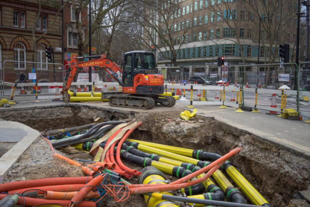
The Geospatial Commission has launched a new discovery project to explore opportunities to widen access to the National Underground Asset Register. Richard Duffield, NUAR Discovery Project Lead, reveals why we started the project and how to get involved.
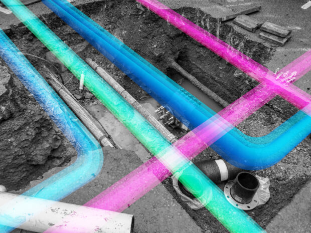
Dr Neil Brammall, NUAR Technical Product Owner, reveals his key learnings from the recent Open Standards code sprint event organised by the OGC and the role the NUAR data model has played in the implementation of key subsurface standards.
Christiana Clark explains how the Greater London Authority helped London fully onboard all major utilities and local authorities to NUAR.
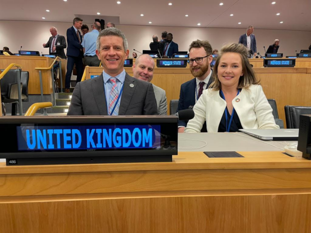
Caitlin Ballard, International Policy Advisor at the Geospatial Commission, summarises the UK delegation’s reflections on the 12th Session of the UN Committee of Experts on Global Geospatial Information Management (UN-GGIM) in New York. In early August, after a three-year hiatus …
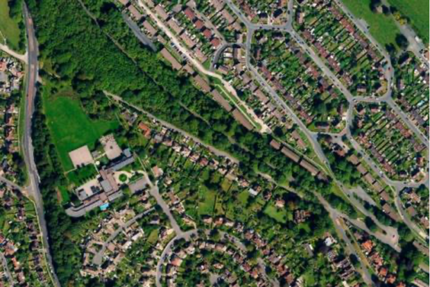
Read our guest blog and find out how analysing location data over time can show us the way in which neighbourhoods are evolving in our cities and transforming people’s lives.
There is a bit of a buzz about making data more FAIR (findable, accessible, interoperable and reusable). Is this a path towards a data utopia where everyone gets the data they want, in the way they want, when they want …
This blog unpacks some of the key findings of the Geospatial Commission’s survey on location data ethics.
Evaluator Sophie Reid explains the evaluation process she used during the independent dialogue exploring public attitudes about location data.
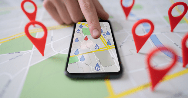
Location data is a fundamental part of our lives. So why do so many struggle to value it and what is the Geospatial Commission doing to resolve this challenge?