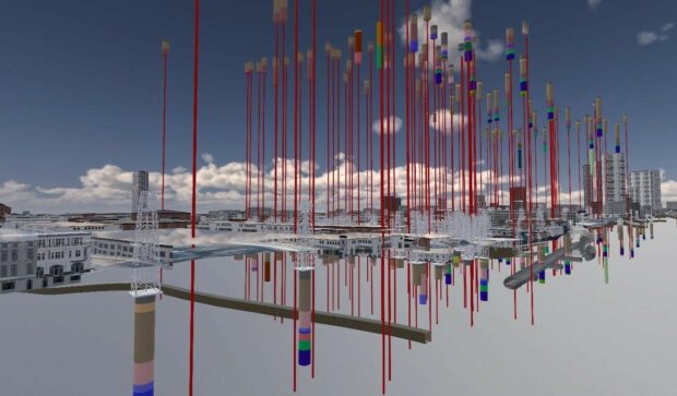
Construction Playbook refresh to improve the re-use and accessibility of ground investigation data. This refresh now makes it a requirement that ground investigation data collected must be shared as soon as reasonably possible with the British Geological Survey as a condition of the contract.
Read our guest blog and find out how analysing location data over time can show us the way in which neighbourhoods are evolving in our cities and transforming people’s lives.
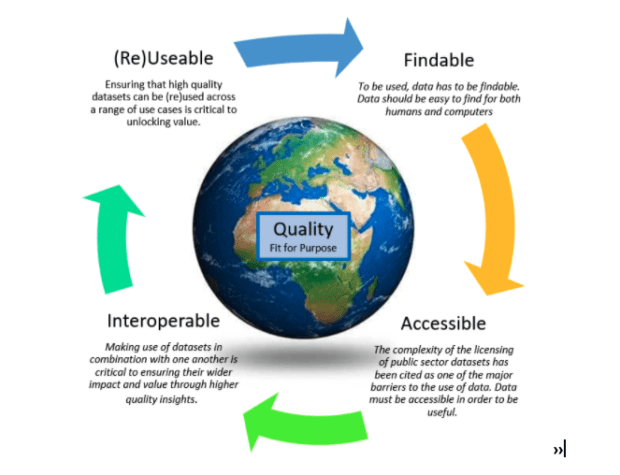
There is a bit of a buzz about making data more FAIR (findable, accessible, interoperable and reusable). Is this a path towards a data utopia where everyone gets the data they want, in the way they want, when they want …
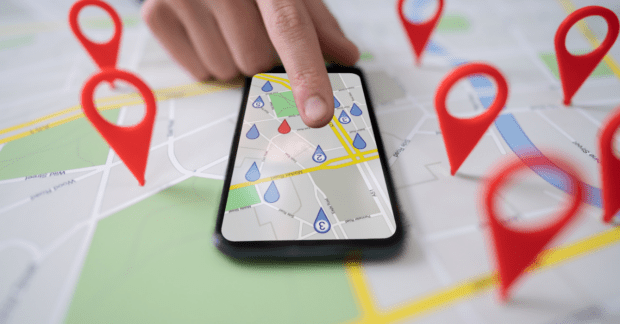
Location data is a fundamental part of our lives. So why do so many struggle to value it and what is the Geospatial Commission doing to resolve this challenge?
For Black History Month 2021, we interviewed award-winning geographer, campaigner, influencer, advocate and activist - Francisca Rockey. Francisca reveals her passion for geography, its power to create a greener planet and why she founded Black Geographers.
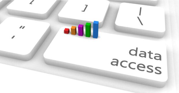
By looking at licensing from the user perspective the Geospatial Commission and Geo6 have worked together to make data licensing and data more accessible.
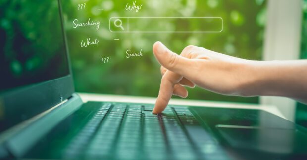
Guest blog by Carl Watson, Senior Analyst and UX Lead, British Geological Survey who shares the steps taken to build a data portal for the user. “After listening to what real users want we have created guidelines for Designing Geospatial …
Guest blog: Howard Askew shares the benefits of the latest Data Improvement tool - List of Geospatial Data Publishers by theme or topic, and how it tackles two of the big challenges faced by users of geospatial data today.
Callum Irving, Senior Data and Standards Advisor, shares the Geospatial Commission’s ambitions to improve access to better location data by making it Q-FAIR - Findable, Accessible, Interoperable, Reusable and of the right Quality that is fit for purpose. Building on …
Guest blog by Ada Lovelace Institute - The Geospatial Commission has partnered with Sciencewise, Traverse and the Ada Lovelace Institute in a new project that will open a dialogue with members of the public to gather evidence about their perspectives on the ethics of location data use.