Geospatial Shadowing Programme: working and learning together
Geospatial Shadowing Programme: working and learning together
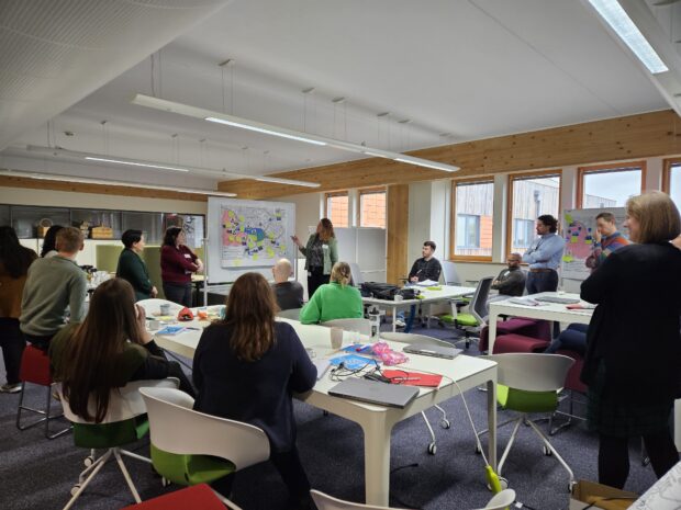
At the Geospatial Commission, we firmly believe in a hands-on experience and in creating connections. We recognise the importance of joining people and ideas to make big things happen. That is precisely why we introduced our Geospatial Shadowing Programme. …