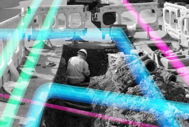
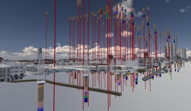
Chris Chambers, Deputy Director for NUAR Delivery, gives an update on the National Underground Asset Register (NUAR).
Construction Playbook refresh to improve the re-use and accessibility of ground investigation data. This refresh now makes it a requirement that ground investigation data collected must be shared as soon as reasonably possible with the British Geological Survey as a condition of the contract.
For Black History Month 2021, we interviewed award-winning geographer, campaigner, influencer, advocate and activist - Francisca Rockey. Francisca reveals her passion for geography, its power to create a greener planet and why she founded Black Geographers.
Annabelle Sampah - As lead, for the Housing and Planning Programme in the Geospatial Commission, I believe the opportunities are endless. However, early on in our investigations, we realised that it was quite difficult to get a good baseline view of what was happening across the sector and where further action could be taken to add value.
In June last year, the Geospatial Commission published the UK Geospatial Strategy, which includes a commitment to ‘assess how location data can support the future of mobility and next-generation transport networks.’ Today, I’d like to provide an update on …
At Northumbrian Water Group innovation is part of our DNA. We seek out new thinking and greater collaborations to tackle both our own and society’s wider challenges. A key example of this is our work alongside the Geospatial Commission …
The Geospatial Commission wants to better understand how access to location data can support commercial innovation in mobility services. Dr Steve Unger will be chairing a new Transport Location Data Taskforce, which will bring together businesses interested in exploiting location data with key public sector organisations.
Take a look behind the scenes of one of our big projects, the National Underground Assets Register (NUAR) that was launched earlier this year.