Technology
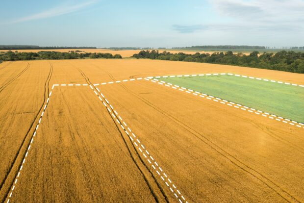
Mehul Doshi, Head of Land Use Programme, explains the role geospatial AI is playing in helping to address land use challenges. The UK has finite land that is under increasing pressure. To meet our energy, housing, and food security needs, …
Karina Matjuhhina, Fast Stream Analyst, explores the UK's geospatial market, highlighting its economic, employment and investment impact. Geospatial data describes where places, objects and people are in any given location. These data can be static such as the address of …
The Geospatial Summit will be taking place this month. The Summit will focus on how recent innovations in geospatial technology can help us tackle resilience challenges.
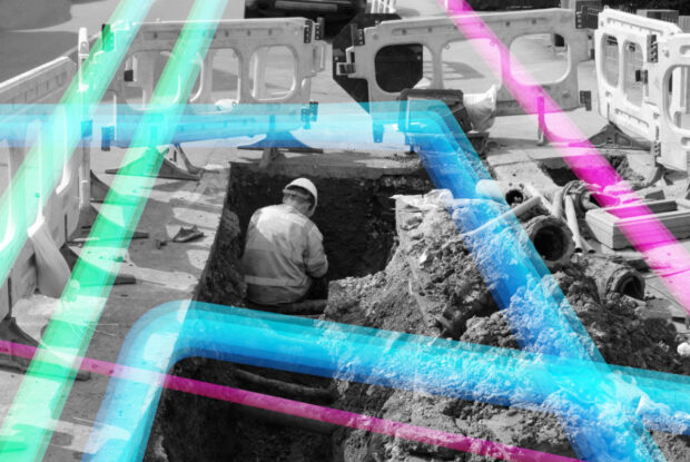
Christiana Clark explains how the Greater London Authority helped London fully onboard all major utilities and local authorities to NUAR.
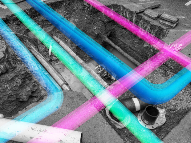
Chris Chambers, Deputy Director for NUAR Delivery, gives an update on the National Underground Asset Register (NUAR).
Holly West, Senior Policy Adviser gives an update on how the Geospatial Commission is identifying future opportunities for innovative use of location data for the property sector.
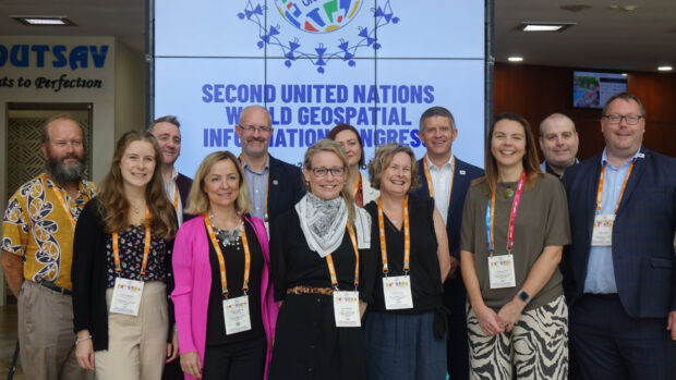
In 2021 the government set an aim to secure the UK’s status as a science and technology superpower. The UK’s geospatial community is doing its bit with a successful trip to the UN World Geospatial Information Congress and external recognition as the UK retained its position as second in the world for geospatial capability.
The Local Land Charges Programme is unlocking the power of location data. Transforming 25 million items of public sector held data on land use restrictions into a machine-readable, standardised and easily accessible format will deliver huge benefits, particularly for digital …
Read our guest blog and find out how analysing location data over time can show us the way in which neighbourhoods are evolving in our cities and transforming people’s lives.
Amy Coughenour Betancourt is the Chief Executive Officer of Cadasta, an award-winning non-profit organisation that develops and promotes the use of simple digital tools and technology to help partners share critical land and resource rights information. Amy has a wealth …
