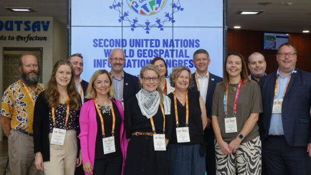
In 2021 the government set an aim to secure the UK’s status as a science and technology superpower. The UK’s geospatial community is doing its bit with a successful trip to the UN World Geospatial Information Congress and external recognition as the UK retained its position as second in the world for geospatial capability.
The Local Land Charges Programme is unlocking the power of location data. Transforming 25 million items of public sector held data on land use restrictions into a machine-readable, standardised and easily accessible format will deliver huge benefits, particularly for digital …
Public sector investments have previously struggled to understand, assess and articulate the economic, social and environmental value of location data coherently, constraining their ability to unlock funding. Find out how this 7-step framework will help address these challenges.
Construction Playbook refresh to improve the re-use and accessibility of ground investigation data. This refresh now makes it a requirement that ground investigation data collected must be shared as soon as reasonably possible with the British Geological Survey as a condition of the contract.
Caitlin Ballard, International Policy Advisor at the Geospatial Commission, summarises the UK delegation’s reflections on the 12th Session of the UN Committee of Experts on Global Geospatial Information Management (UN-GGIM) in New York. In early August, after a three-year hiatus …
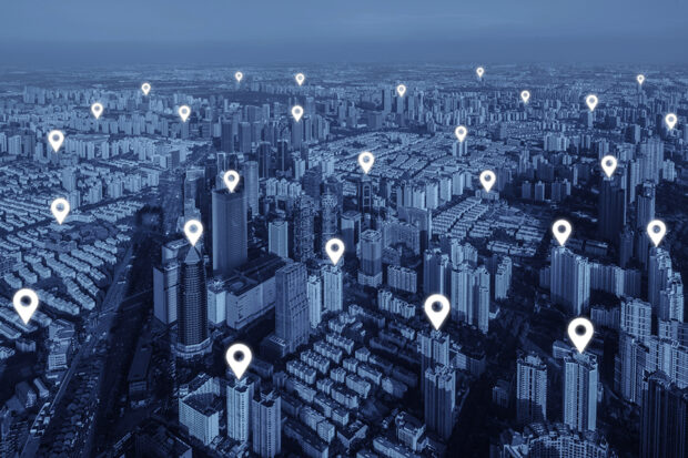
Read our guest blog and find out how analysing location data over time can show us the way in which neighbourhoods are evolving in our cities and transforming people’s lives.
Amy Coughenour Betancourt is the Chief Executive Officer of Cadasta, an award-winning non-profit organisation that develops and promotes the use of simple digital tools and technology to help partners share critical land and resource rights information. Amy has a wealth …
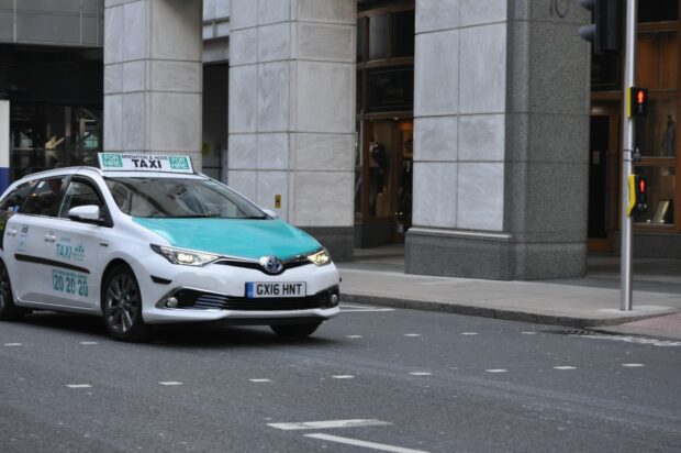
Josh Dalby explains how Ricardo’s Geospatial Commission funded project is using the location of vehicles to change their behaviour to reduce emissions and improve air quality.
There is a bit of a buzz about making data more FAIR (findable, accessible, interoperable and reusable). Is this a path towards a data utopia where everyone gets the data they want, in the way they want, when they want …
This blog unpacks some of the key findings of the Geospatial Commission’s survey on location data ethics.