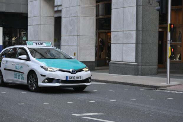
How using transport location data can improve air quality

Josh Dalby explains how Ricardo’s Geospatial Commission funded project is using the location of vehicles to change their behaviour to reduce emissions and improve air quality.

Josh Dalby explains how Ricardo’s Geospatial Commission funded project is using the location of vehicles to change their behaviour to reduce emissions and improve air quality.

In June last year, the Geospatial Commission published the UK Geospatial Strategy, which includes a commitment to ‘assess how location data can support the future of mobility and next-generation transport networks.’ Today, I’d like to provide an update on …

The Geospatial Commission wants to better understand how access to location data can support commercial innovation in mobility services. Dr Steve Unger will be chairing a new Transport Location Data Taskforce, which will bring together businesses interested in exploiting location data with key public sector organisations.