There is a bit of a buzz about making data more FAIR (findable, accessible, interoperable and reusable). Is this a path towards a data utopia where everyone gets the data they want, in the way they want, when they want …
By looking at licensing from the user perspective the Geospatial Commission and Geo6 have worked together to make data licensing and data more accessible.
Guest blog by Carl Watson, Senior Analyst and UX Lead, British Geological Survey who shares the steps taken to build a data portal for the user. “After listening to what real users want we have created guidelines for Designing Geospatial …
As Data Standards Lead at the Geospatial Commission I have been investigating species data and the path it takes from getting collected to being made available, to monitor species. Knowing a species geographic location is fundamental to many aspects of biodiversity conservation.
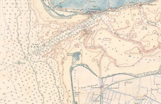
The Geospatial Commission and its Partner Bodies have collaborated to provide this Best Practice Guide: Extracting data from Archives. In these times of fast-paced change, our archive data which contains a rich layer of location data will become increasingly important, delivering value to the economy and wider society.
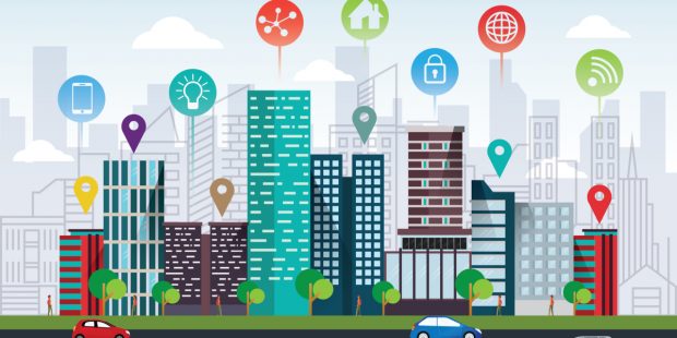
The Geospatial Commission and Partner Bodies have collaborated on a programme of data improvement projects, to develop consistent data standards, improve the discoverability, access, use and quality of Public Sector geospatial datasets.
The Geospatial Commission and Partner Bodies have collaborated on a programme of data improvement projects, to develop consistent data standards, improve the discoverability, access, use and quality of Public Sector geospatial datasets.