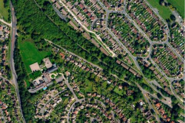
Holly West, Senior Policy Adviser gives an update on how the Geospatial Commission is identifying future opportunities for innovative use of location data for the property sector.
The Local Land Charges Programme is unlocking the power of location data. Transforming 25 million items of public sector held data on land use restrictions into a machine-readable, standardised and easily accessible format will deliver huge benefits, particularly for digital …
Construction Playbook refresh to improve the re-use and accessibility of ground investigation data. This refresh now makes it a requirement that ground investigation data collected must be shared as soon as reasonably possible with the British Geological Survey as a condition of the contract.
Read our guest blog and find out how analysing location data over time can show us the way in which neighbourhoods are evolving in our cities and transforming people’s lives.
Amy Coughenour Betancourt is the Chief Executive Officer of Cadasta, an award-winning non-profit organisation that develops and promotes the use of simple digital tools and technology to help partners share critical land and resource rights information. Amy has a wealth …
Josh Dalby explains how Ricardo’s Geospatial Commission funded project is using the location of vehicles to change their behaviour to reduce emissions and improve air quality.
There is a bit of a buzz about making data more FAIR (findable, accessible, interoperable and reusable). Is this a path towards a data utopia where everyone gets the data they want, in the way they want, when they want …
This blog unpacks some of the key findings of the Geospatial Commission’s survey on location data ethics.
Evaluator Sophie Reid explains the evaluation process she used during the independent dialogue exploring public attitudes about location data.
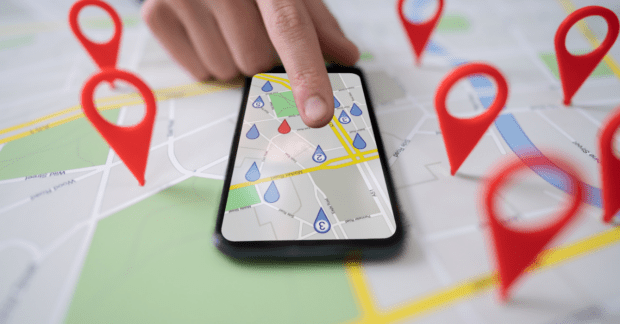
Location data is a fundamental part of our lives. So why do so many struggle to value it and what is the Geospatial Commission doing to resolve this challenge?