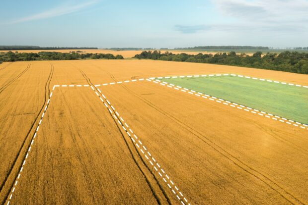
Mehul Doshi, Head of Land Use Programme, explains the role geospatial AI is playing in helping to address land use challenges. The UK has finite land that is under increasing pressure. To meet our energy, housing, and food security needs, …
In June last year, the Geospatial Commission published the UK Geospatial Strategy, which includes a commitment to ‘assess how location data can support the future of mobility and next-generation transport networks.’ Today, I’d like to provide an update on …
The Geospatial Commission wants to better understand how access to location data can support commercial innovation in mobility services. Dr Steve Unger will be chairing a new Transport Location Data Taskforce, which will bring together businesses interested in exploiting location data with key public sector organisations.


