Geospatial Summit: Planet, People, Place
Geospatial Summit: Planet, People, Place
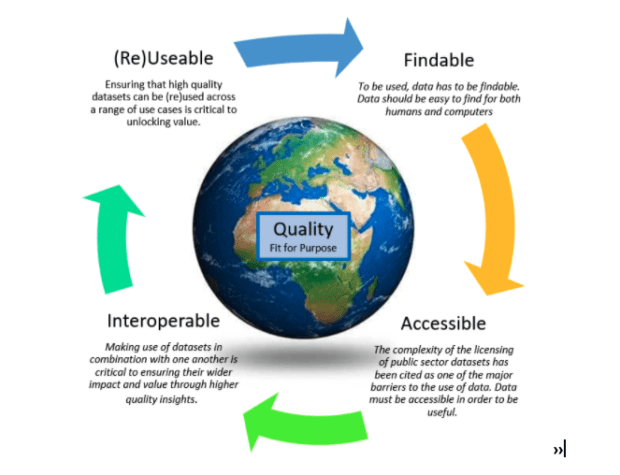
The Geospatial Summit will be taking place this month. The Summit will focus on how recent innovations in geospatial technology can help us tackle resilience challenges.